Geiteberget
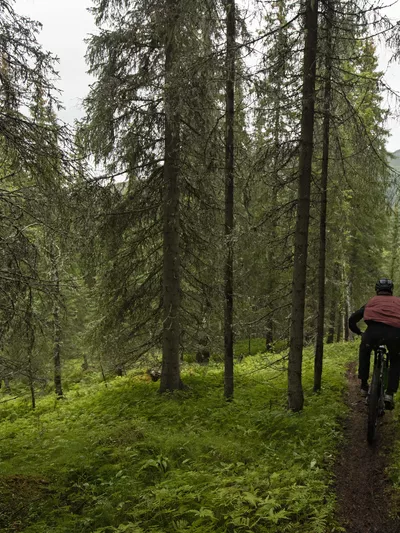
Geiteberget is a nice tour that starts at the local museum Hemsedal Bygdatun and mainly goes through the forest. Very nice view of Hemsedal at the top.
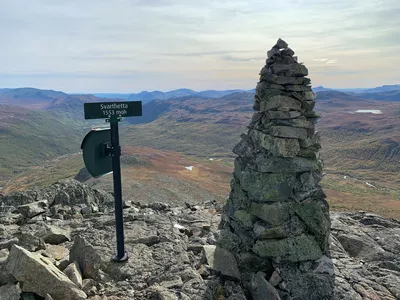
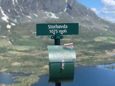
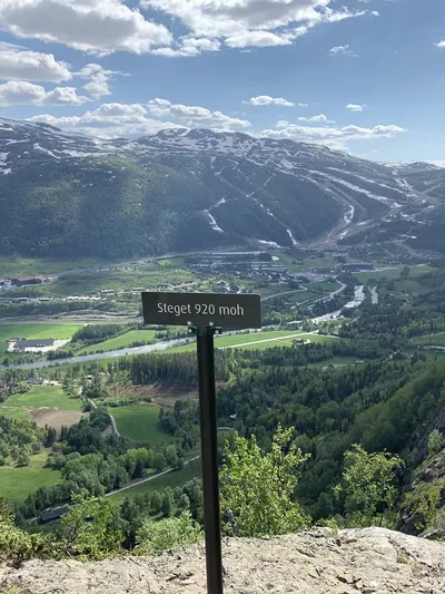
Geiteberget 633 - 834 m
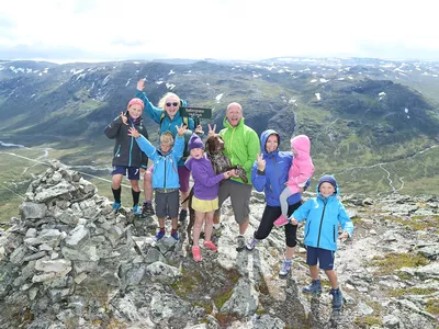
Geiteberget is a nice tour that starts at the museum Hemsedal Bygdatun and goes mainly through the forest. Suitable for the whole family, but also the sporty ones who want a quick trip with nice view.

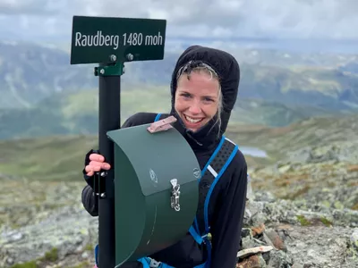
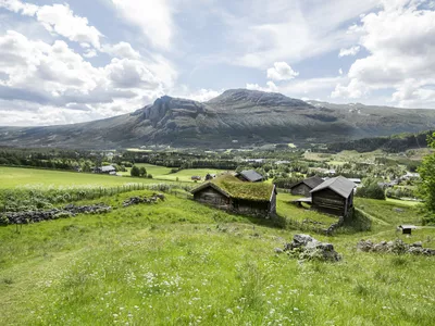
A hike that will reward you with stunning views of Hemsedal. You pass through an old mountain farm that doubles as a museum during summertime.
In winter, you can walk this with snowshoes or, if many people have walked here, you can walk with winter shoes.
Images


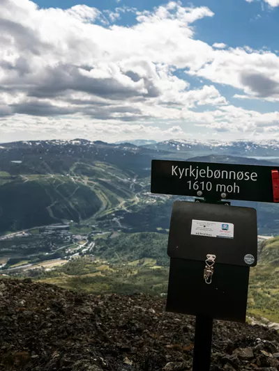
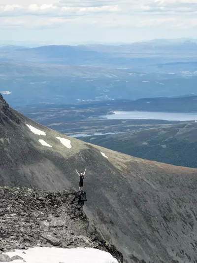
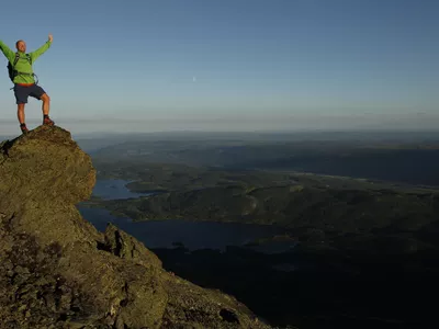
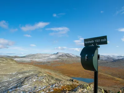
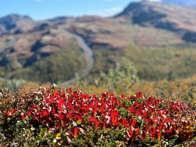
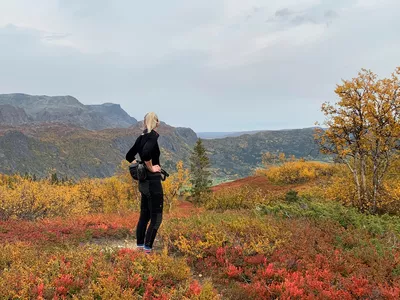
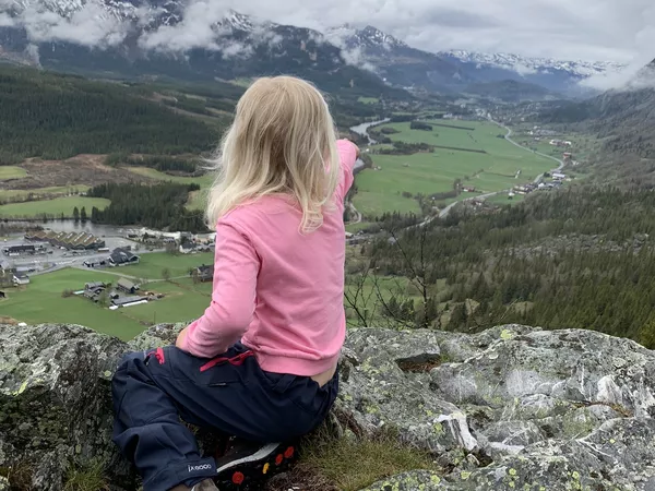
A trip that offers culture, nature and great views. The hike starts at an old farm from the 18th century that doubles as a museum in summer, Bygdatunet museum. From Geiteberget, a great lookout point at 834 m above sea level, you get an incredible view. From here you can see Hydnefossen by Veslehødn, Storehødn and Totten. You also see the center of Hemsedal and further west in the valley.
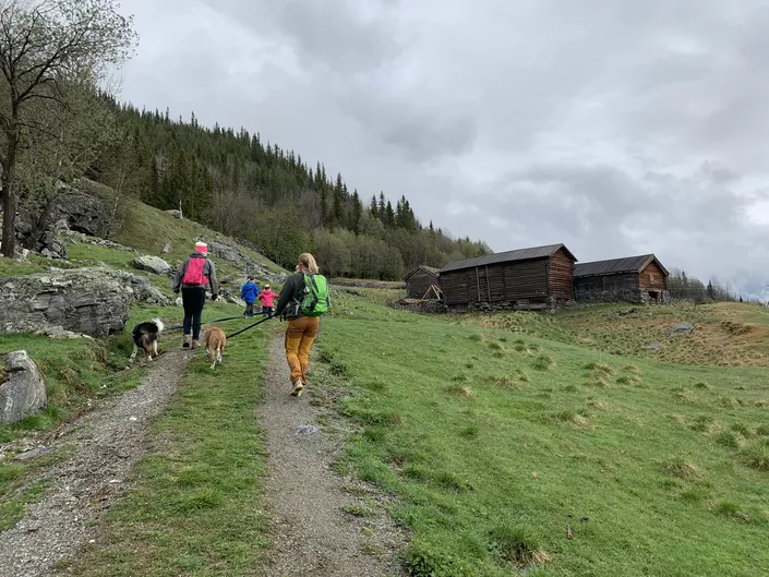
Please note! There are grazing sheep in the area, so remember to close gates and keep your dog on a leash.
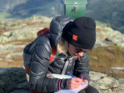
Author's advice
Turn-by-turn directions
From the parking, follow the road up trough the museum grounds which is a Norwegian farm from the 18th century. Keep left of the museum and follow the fence until you reach a gate with blue marks on it. Follow the marked trail. The trail winds up through the forest, and gets steeper as you go. When the trail starts to flatten, watch out as the path to the look out turns sharply left.
Please note! There are grazing sheep in the area, so remember to close gates and keep your dog on a leash.
Safety information
Keep track of the map and trail as there are many detours along the way.
Map
Topographical map of hiking trails, cycling routes and cross country tracks in Hemsedal is for sale at Hemsedal Tourist Office.
Directions
Follow Rv52 to Ulsåk and exit towards Lykkja. After 700 meters park by the signpost for the Hallingdal Museum.
Parking
Parking beside the road, shared parking with Hallingdal Museum Bygdatunet.
Public transport
The hike can be rached by bus to Ulsåk. See vy.no for departures (limited).