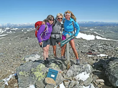
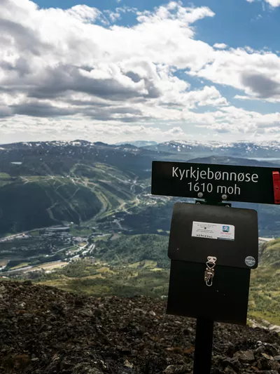
Ranastøngji

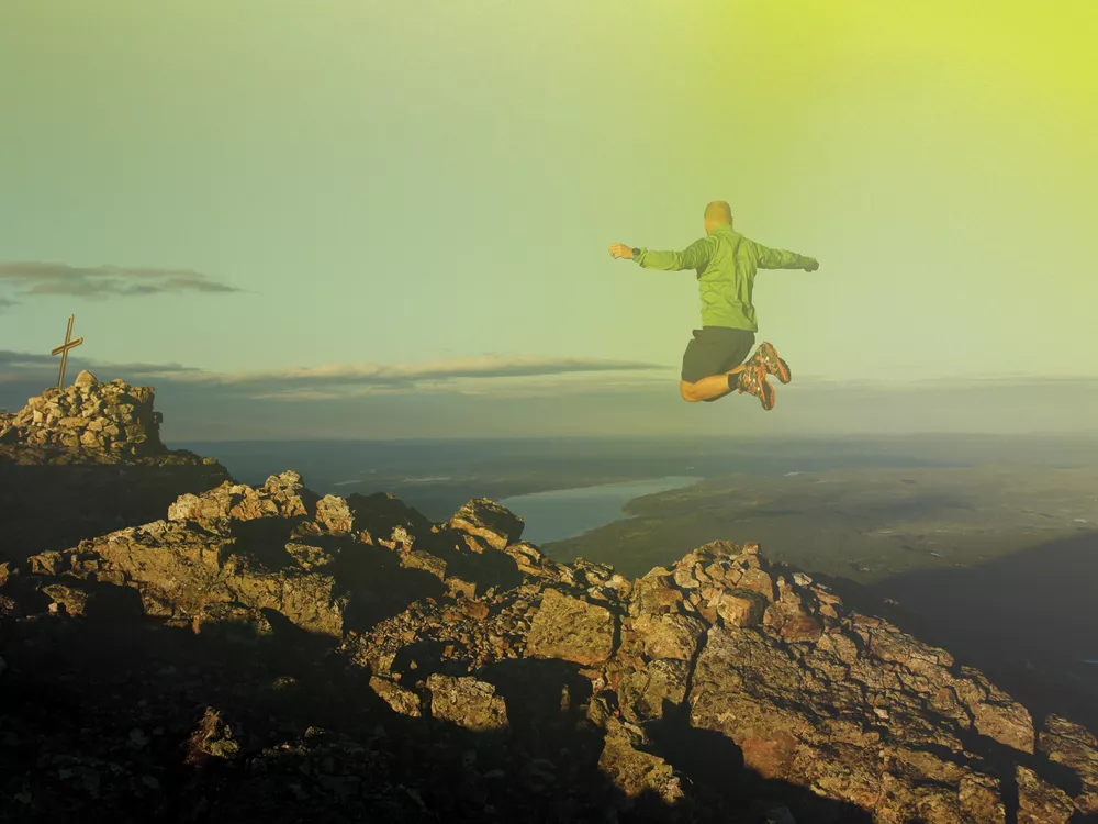
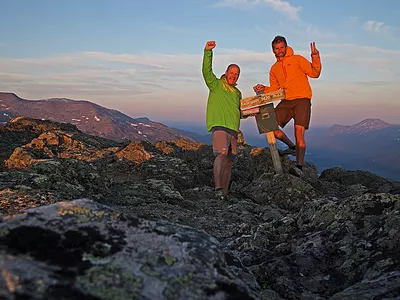
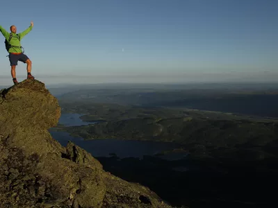
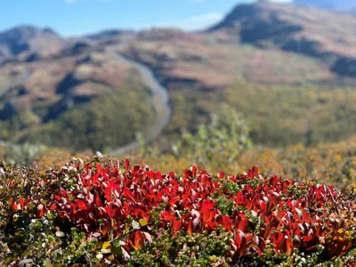
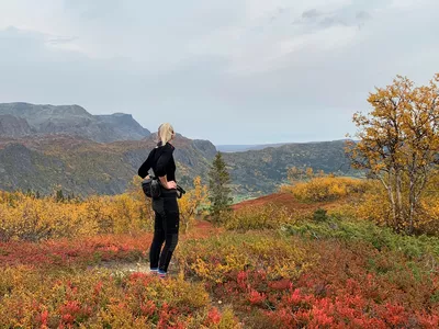
Fantastic view over the Hemsedal and Jotunheimen mountains from Ranastongi. 550 m deep canyon at the peak.

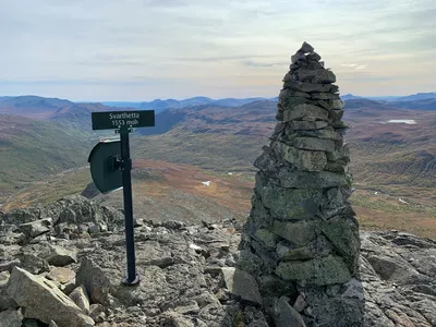
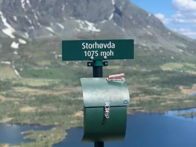
Ranastøngji 1150 - 1900 m
Fantastic view over the Hemsedal and Jotunheimen mountains from Ranastongi. 550 m deep canyon at the peak.
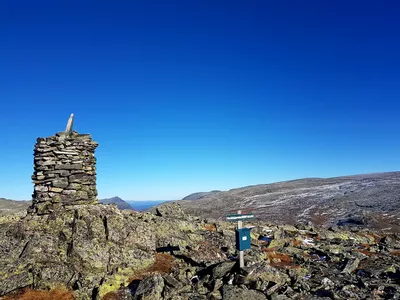
The upper part of the trip is stony with cairns to the peak. Check out the description and map below.

If you are up for a long and rewarding hike - this one is a must!
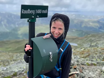
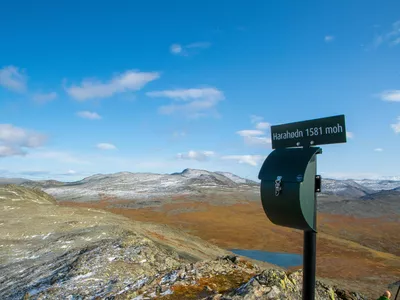
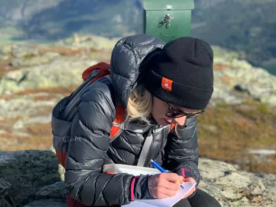
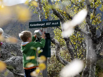
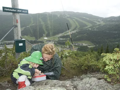
Images


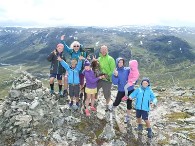
At the top, 1900 masl, you'll get the most fantastic view over the mountains of Hemsedal, Jotunheim and the Jostedal glacier. Right behind the top, there is a special “canyon” with a vertical drop of approx. 600 meters.
Keep your dog on a leash, also in the high mountains.
Author's advice
Remember a proper map and compass. Read more about safety information, equipment and tips under Details.
Turn-by-turn directions
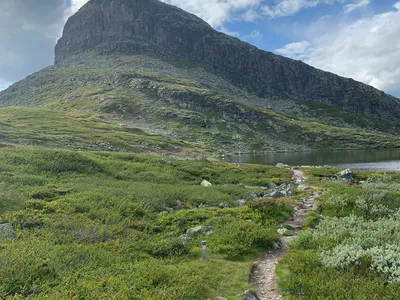
You start the trip along the stream Lysebåtten. Follow the blue markings until you cross the river. There is no bridge, so cross carefully. (Sometimes during snow melting the water might be too hard to cross.) After the river crossing, there is some light climbing through the large rocks, before it flattens out towards the top. It is rocky here and the path becomes less clear so keep an eye out for the marked cairns towards the summit. Return the same way.
Remember to keep your dog on a leash, also in the high mountains.
Equipment
- Map, compass and other necessary equipment.
- Remember good shoes as you will both be crossing the river (no bridge) and it gets rocky the second half.
- Extra clothes, food and water.
Safety information
- Remember a topographic hiking map and compass.
- Always choose hikes based on your ability and current conditions. The weather changes quickly in the mountains. Turn back in time (or choose another hike).
- There is no water available after the trail flattens so it is a good idea to fill up when you cross the river.
Map
Topographical map of hiking trails, cycling routes and cross country tracks in Hemsedal is for sale at Hemsedal Tourist Office.
Directions
From the Tourist Office drive 4.6 km to Tuv, take to the right into Grøndalen and then up the toll road Hydalsvegen (toll road, card payment). At the end of the lake, Vavatn, the road turns sharply to the right (at Vabuleino). Park here and follow the signpost to Ranastøngji.
Parking
Parking space at the end of the Vavatn lake, either just around the bend or down the hill to Vabuleino.