Skogshorn
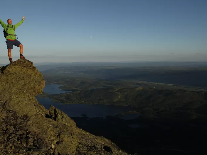
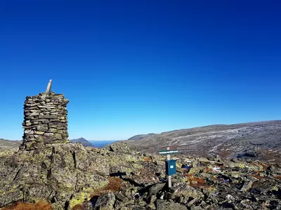
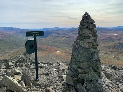
1728 meters high Skogshorn is located on the border between Hemsedal and Valdres, and is easily visible from long distance with its prominent and steep mountain slope facing south.
Skogshorn 903 - 1728 m
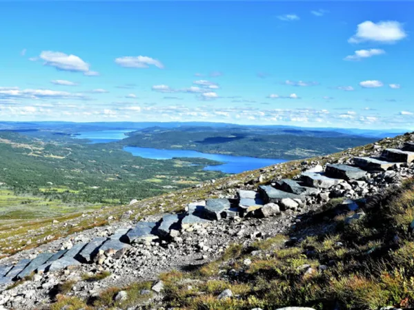
Hikers can now take a trip to the mountain Skogshorn (1728 meter above sea level) along a restored trail. The repairing work included building stonesteps, revegetate broken trail and controlling the water by creating water drains. Four Sherpa from Nepal have during 2017, 2018 and 2019 done the work repairing the trail.
The top is climbed from the east and the hike can be a bit challenging, but may well be hiked by children - about 833 m vertical and approximately 9 km walk / return. Half way up to the summit you'll walk on a path, and then you'll meet the rocks that takes you to the top. Calculate about 4.5 hours on the trip.
There are built benches to sit down and take a rest 3 places along the trail.

Skogshornstienhas been newly restored
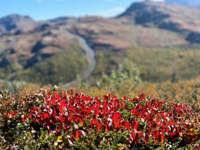
The trip up to Skogshorn (1728 m.a.s.l.) is on a newly restored path where wet bog areas and erosion-prone vegetation have been taken into account. This has been done by draining water out of the path, paving wet areas, building stone steps and revegetating areas. In line with an ever-increasing number of visitors to the mountain Skogshorn, more extreme rainfall will also pose a challenge that must be taken seriously.
Read more about the project here.
We urge all hikers to bring their garbage out of the area. Remember also to follow the marked trail. This will prevent additional wear and tear
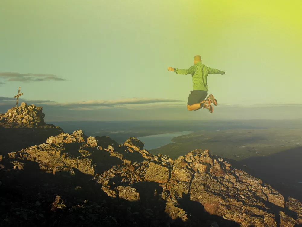
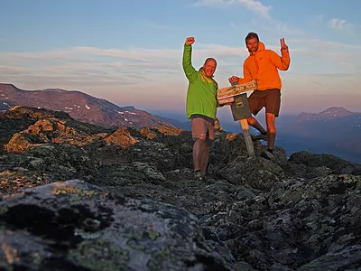
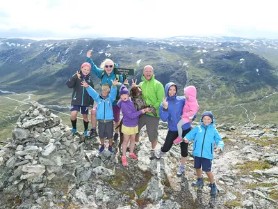
Skogshorn is the most visited and most photographed mountain in Hemsedal.
Images

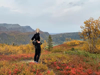
The 1728 meter high Skogshorn lies on the border between Hemsedal and Valdres, and is easily visible from a long distance with its marked and steep mountain side to the south. The hike to the top, up the "sherpa stairs", is probably the most famous mountain hike in Hemsedal. In the period 2015 - 2019, a large restoration work was done on the path with good help from Sherpas from Nepal with a lot of knowledge and experience in restoring paths that take care of nature's needs and at the same time cater for great mountain experiences.
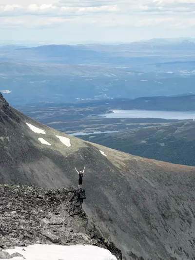
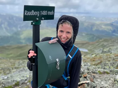
From the top, 1728 masl, you get the view over Lykkja and the lake area and also towards the waterfall Hydnefossen.
If your dog is with you, remember to keep it on a leash, also in the high mountains.
Author's advice
There are several pleasant places to stop along the way. If the whole hike is too long, you can turn around at the stone plateau that is built half way up the mountain, or take a dip in the lake Hundsennvatnet, which is located at the northern mountain base after the first hill.
Turn-by-turn directions
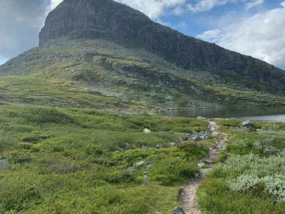
The hike starts in Lykkja, a mountain area in Hemsedal with a traditional Norwegian landscape. From the Trefta car park, cross the road and follow the marked trail upwards. When it flattens a bit, the trail turns left towards Skogshorn. A little further up the mountain you will find the Sherpa stairs and some great plateaus perfect for a pit stop. The last part of the trail is on rocky terrain and is not as clearly marked, so pay close attention to where it goes. Return the same way.
If your dog is with you, remember to keep it on a leash, also in the high mountains.
Equipment
- Map and compass.
- Good shoes and clothes for weather change.
- Food and water.
Safety information
- A topographic hiking map and compass are recommended.
- Always choose hikes based on your ability and current conditions. The weather changes quickly in the mountains.
Map
Topographical map of hiking trails, cycling routes and cross country tracks in Hemsedal is for sale at Hemsedal Tourist Office.
Directions
From Hemsedal town center, drive 4 km east on Rv 52 towards Gol until you enter the township of Ulsåk. Exit towards Lykkja, road number FV231. Follow the road for 13.5 km. Skogshorn is on your left hand, Trefta parking on the right.
Parking
Parking at Trefta. Payment via Vipps for Norwegians. Check sign at the parking if there are other payment options for international guests.